About Pacific Palms
Pacific Palms is a small coastal locality in the MidCoast Council area on the Mid North Coast. It is bounded by Smiths Lake to the south and Booti Booti National Park to the north, and includes the villages of Blueys Beach, Elizabeth Beach, Boomerang Beach and Tiona.
A major attraction for visitors is the Green Cathedral at the north end, an outdoor cathedral in a cabbage tree forest overlooking Wallis Lake. Blueys and Boomerang beaches are known for their beauty and surf, and hiking trails and secluded beaches are other attractions.
Where is Pacific Palms?
Pacific Palms is in the MidCoast Council area on the Mid North Coast of New South Wales.
Nearby towns with hubs on OurHub, with straight-line distances: Smiths Lake (6 km south-west), Bungwahl (10 km south-west), Seal Rocks (10 km south), Coomba Park (14 km north-west).
What the Pacific Palms directory lists
To eat and drink: Drift Cafe. Shops and services: Pacfic Palms Post Office. For health: Pacific Palms Pharmacy. Parks, beaches and recreation: Coates Reserve, Debert Reserve, Sandbar & Bushland Holiday Parks & Golf Course, Veropa Park.
Schools and learning: Pacific Palms Public School. Churches: Green Cathedral. Emergency services: Pacific Palms Rural Fire Brigade.
Get in touch
A question, something out of date, a group to link, or the keys to this hub: send it here and someone at OurHub will get back to you.
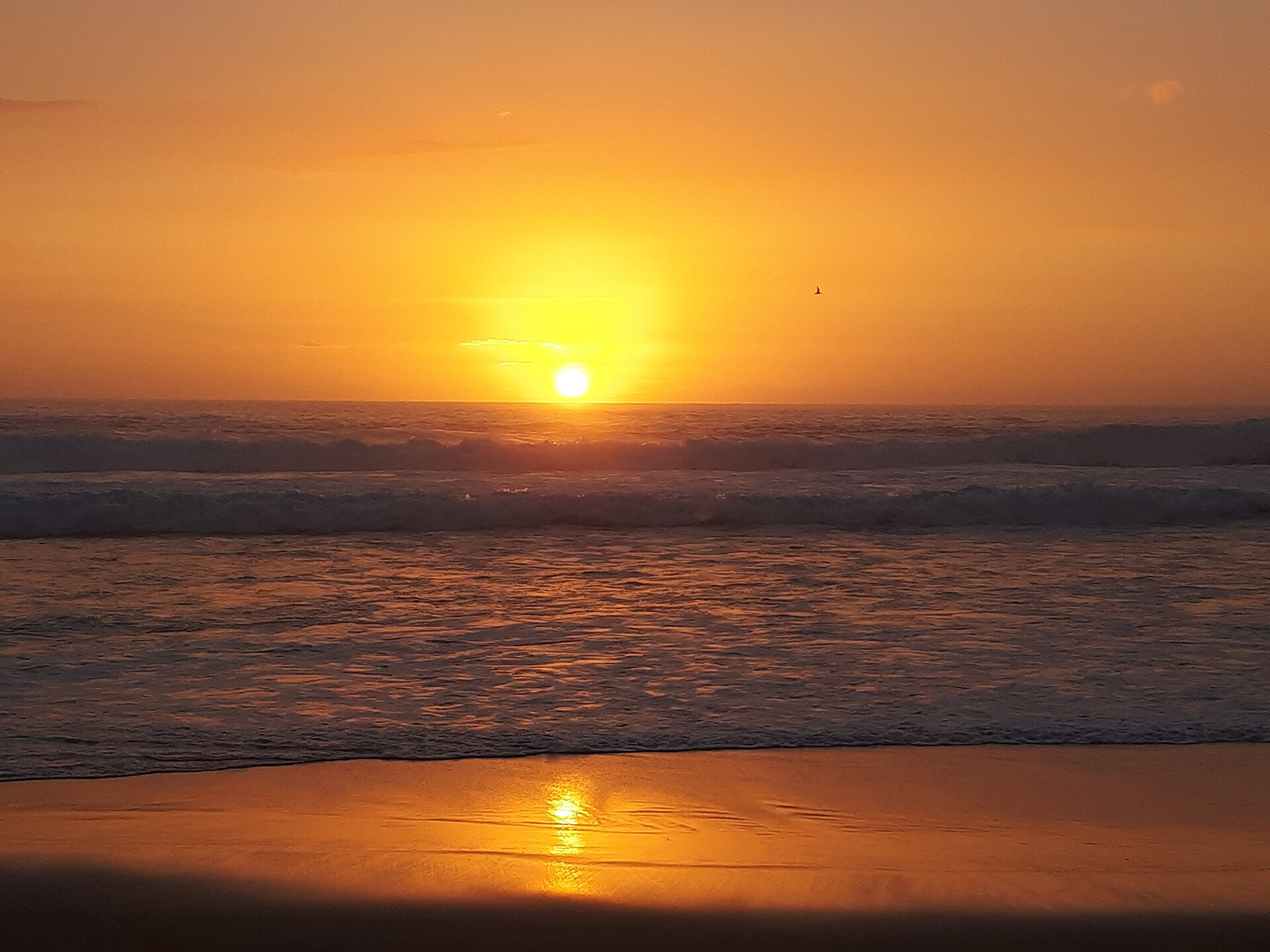
Photo: “7 Mile Beach Sunrise” by PRFenelon (CC BY-SA 4.0), via Wikimedia Commons. It shows Booti Booti National Park, not Pacific Palms itself. Town facts: Wikipedia (CC BY-SA 4.0), which cites the Australian Bureau of Statistics census. Straight-line distances are worked out from the hub’s coordinates. Directory locations © OpenStreetMap contributors (ODbL).